At 3DSEMA, we offer specialized drone services tailored for enterprises and companies. Our comprehensive process includes everything from design and launch to data collection, processing, and delivery of high-quality images. With our advanced technology and skilled team, we ensure efficient and accurate results to meet your specific needs.
Trust us to provide you with exceptional drone services that will elevate your business operations.


Locally Licensed,Internationally Accredited
With established Government and Civil Aviation relationships, 3D Sema can operate within multiple scenarios and environments at the highest safety standards
Aerial Survey and Inspection Data
On-Demand
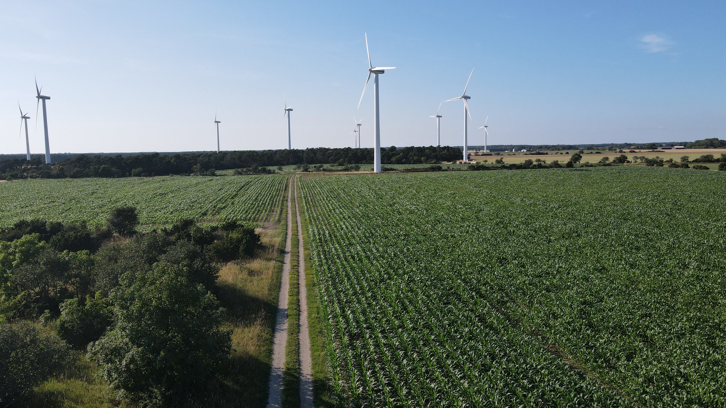
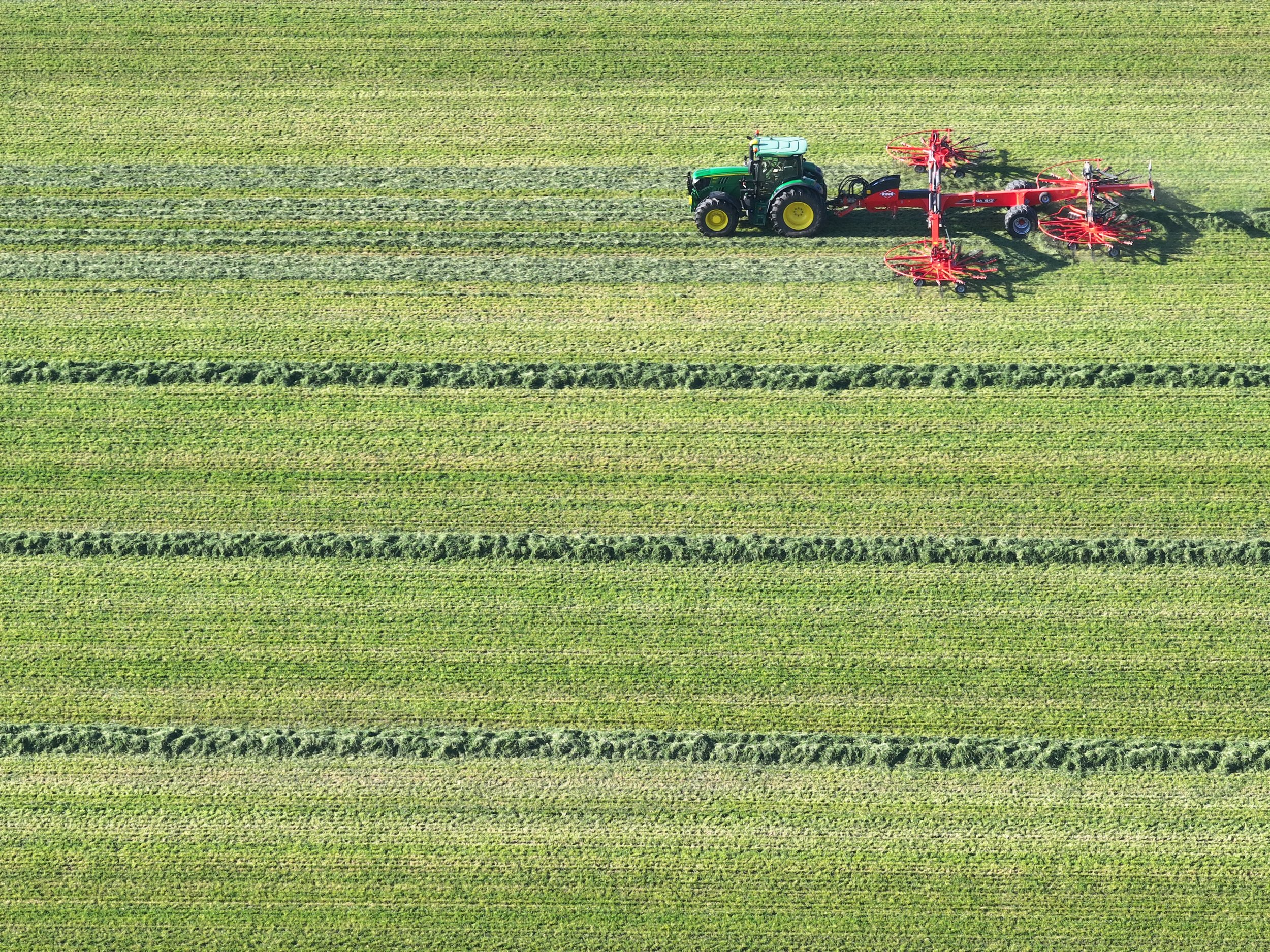
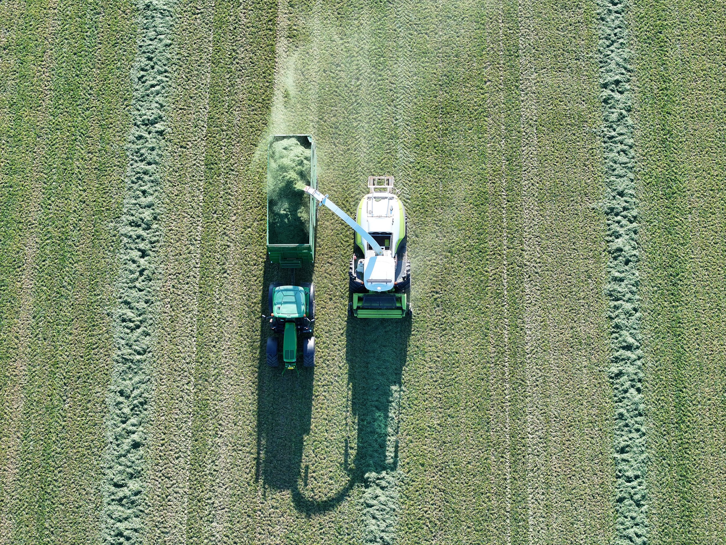
We specialize also in precision agriculture, utilizing cutting-edge technologies to provide accurate and data-driven solutions.
Our team of experts utilizes drones to help optimize your agricultural operations, providing you with valuable insights to increase productivity and reduce costs. With our reliable and efficient services, we ensure that you can stay ahead in the rapidly evolving agricultural industry. Trust 3dsema for all your precision agriculture needs.


The vegetation index is a crucial tool for understanding terrain conditions. By utilizing drones, our 3dsema service can provide accurate and detailed vegetation index data. This information allows you to make informed decisions about land use, agriculture, and environmental monitoring. With our advanced technology and expertise, we ensure that you have the necessary insights to optimize your terrain management strategies.
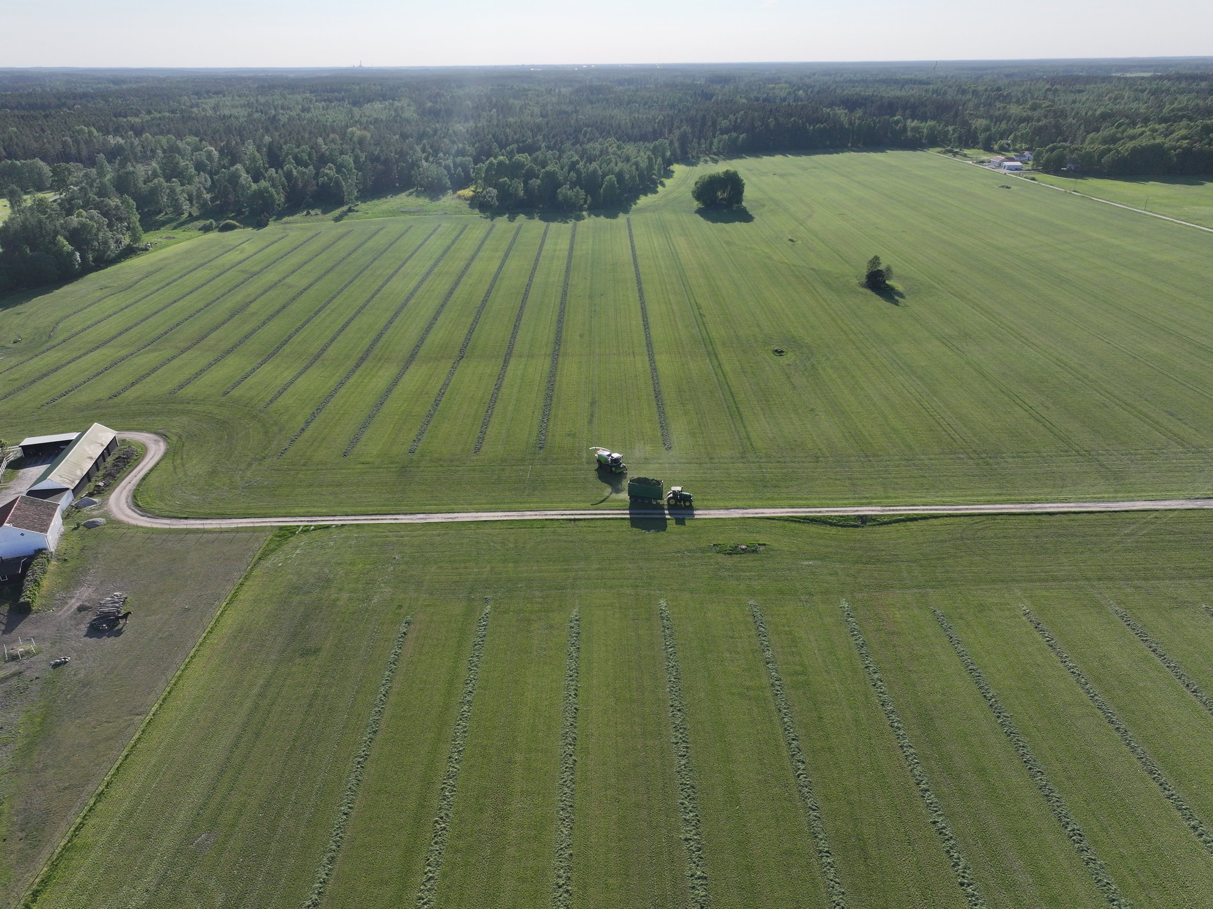
At 3dsema, we offer high precision plant counting services using advanced drone technology. Our specialized drones capture detailed aerial imagery, allowing us to accurately count the number of plants in a given area. This data is valuable for farmers, agronomists, and researchers, as it provides insights into crop health, yield estimates, and resource management. With our efficient and reliable drone service, you can maximize your farming operations and make informed decisions for improved productivity.


An accurate plant stand count is necessary for a variety of reasons. Firstly, it provides farmers with valuable information about the health and viability of their crops, allowing them to make informed decisions regarding irrigation, fertilization, and pest control. Additionally, an accurate plant stand count is crucial for yield estimation and planning harvest logistics. With the help of drone technology provided by 3dsema, farmers can ensure they have an accurate and up-to-date plant stand count to optimize their farming operations.
Copyright ©2024 3D Sema , All Rights Reserved